Monday, 6 Jul 2026
IronAxis
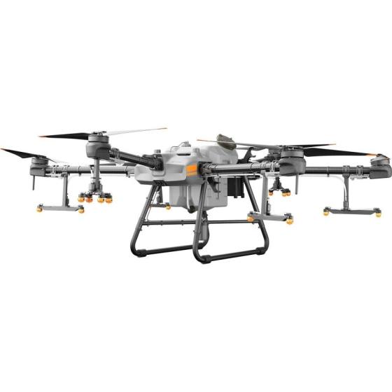
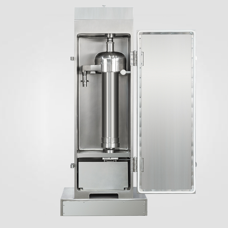
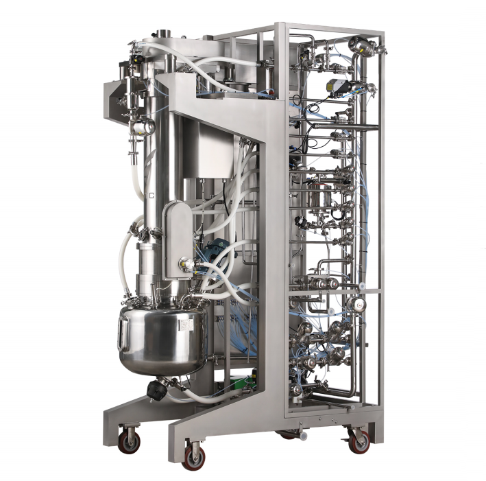
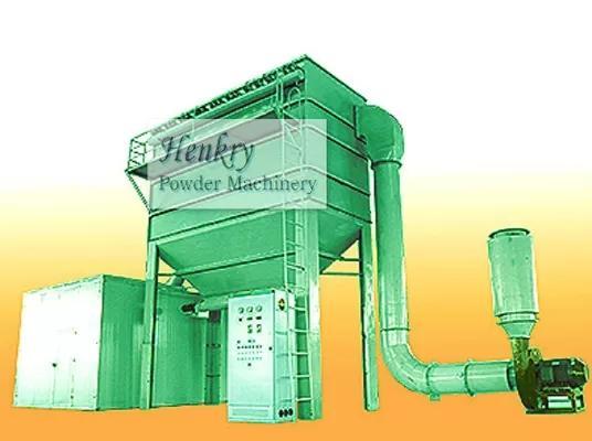
- Provide industrial equipment, instruments, machinery, food processing systems, and new energy solutions for manufacturers and laboratories.

IronAxis Industrial Supply
IronAxis is a U.S.-based B2B supplier of industrial equipment, instruments, machinery, food processing systems and new energy solutions for manufacturers, labs and engineering companies.
Contact Us
info@ironaxis-supply.com


Clients Reviews